|
Eruption_Minoenne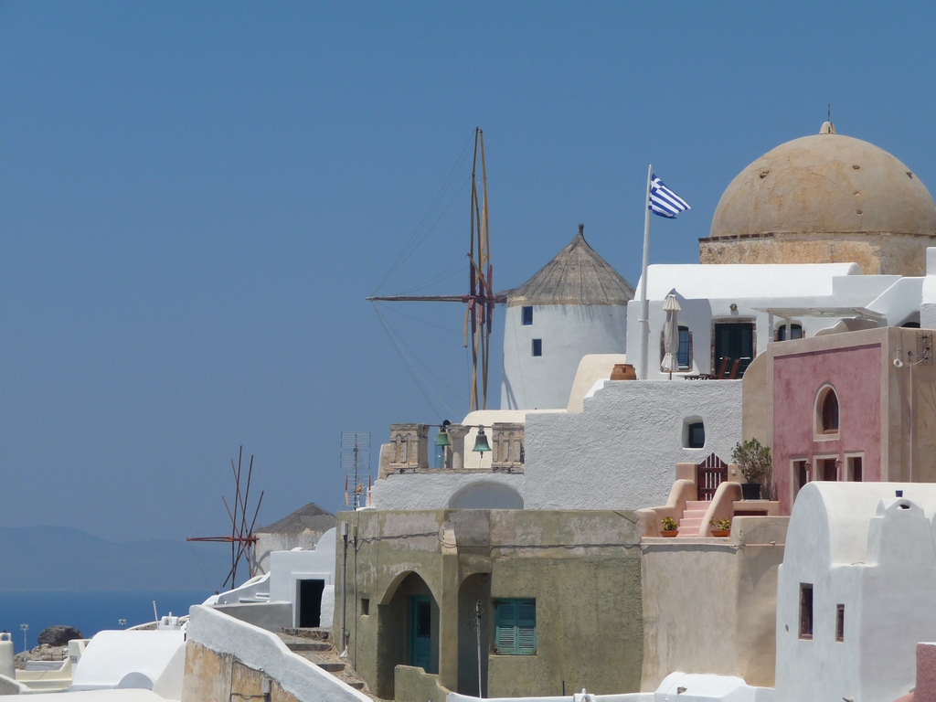
La date précise de l’éruption reste débattue, la datation traditionnelle vers -1550, établie par l’étude comparée des styles de céramique, ayant été remise en cause par l’utilisation d’autres méthodes (carbone 14,dendrochronologie) qui indiquent des dates plus anciennes. Les plus récentes datations convergent vers une période située entre -1628 et -16001,2. L’éruption ayant laissé des traces dans une partie du bassin méditerranéen, la confirmation de ces datations pourrait amener à modifier les chronologies relatives des civilisations de la région. On retrouve ainsi des traces des éjectas de l’éruption et les dépôts marins des tsunamis dans les sites archéologiques de tout l’est des rivages de la Méditerranée, ce qui fournit une couche stratigraphique de référence.
Alors qu’une précédente éruption s’est produite il y a 18 000 ans avant celle d’il y a 3 600 ans, cette dernière éruption caldérique a rejeté 40 à 60 km3 de magma, le volcan s’étant réveillé en moins de cent ans, chronologie déterminée par le taux de diffusion et de rééquilibrage de différents éléments dans les plagioclases de ponces.
[source Wikipédia]
:
Modélisation des effets climatiques de l’éruption de l’âge du bronze récent de Théra (Santorin) :
De nouveaux calculs du volume de téphra pourraient indiquer une éruption bien plus importante que ce qui avait été précédemment rapporté
F. W. McCoy (Département des Sciences Naturelles, Université d’Hawaï – Windward, Kaneohe)
De nouveaux calculs du volume de téphra émis lors de l’éruption de l’âge du bronze récent (LBA) de Théra (Santorin) suggèrent que l’éruption aurait été bien plus importante qu’on ne le pensait auparavant : jusqu’à 100 km³ de téphra pourraient avoir été rejetés (Indice d’explosivité volcanique, VEI = 7,0).
Cela représente plus du double des estimations précédentes (environ 40 km³ ; VEI = 6,9), et cela a des implications majeures quant à l’ampleur de l’éruption et à ses effets régionaux, notamment en ce qui concerne la modélisation de possibles changements climatiques. Une telle magnitude place l’éruption de l’âge du bronze parmi les plus puissantes de l’histoire humaine, équivalente à celle du Tambora en 1815.
Ces nouveaux calculs du volume de téphra proviennent de nouvelles expositions de ponces et de cendres identifiées sur les îles d’Anaphi et de Crète (certaines situées sur des sites archéologiques), de données sismiques dans la région de Théra (réévaluation de données anciennes non publiées, ainsi que d’autres données publiées), ainsi que de cendres récupérées dans des carottes sédimentaires océaniques profondes prélevées au cours de la dernière décennie.
Les dépôts de cendres ont été très largement dispersés : depuis la côte du Péloponnèse à l’ouest, en passant par toute la Crète au sud, l’Anatolie occidentale à l’est, et jusqu’à la mer Noire au nord-nord-ouest. La dispersion régionale de ces dépôts lointains s’est effectuée :
Les dépôts proximaux de téphra (près et sur Théra) proviennent de :
- la colonne éruptive,
- des accumulations sur l’édifice volcanique préexistant (qui s’est effondré pour former la caldeira actuelle),
- et de l’entrée de coulées pyroclastiques dans l’océan.
Les calculs des volumes de téphra restent approximatifs, notamment en raison du manque de critères fiables permettant d’estimer les proportions de matériaux redéposés.
Traduction en français du texte scientifique sur l’éruption de l’âge du bronze récent de Théra (Santorin), rédigé par F. W. McCoy
[source : http://www.agu.org/meetings/cc02babstracts/McCoy.pdf]
Autres liens :
|


